


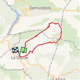

16,6 km | 30 km-effort


Gebruiker


Gratisgps-wandelapplicatie
 SityTrail
IGN / Geografische instituten
SityTrail World
De wereld gaat voor u open
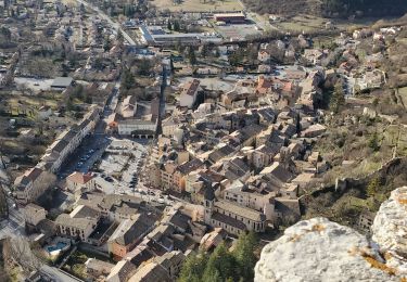
Tocht Stappen van 13 km beschikbaar op Provence-Alpes-Côte d'Azur, Alpes-de-Haute-Provence, La Garde. Deze tocht wordt voorgesteld door GrouGary.
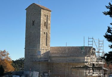
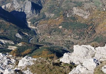
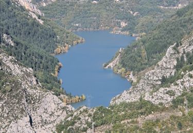
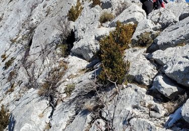
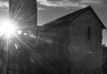
Montée facile mais soutenue par la Chapelle jusqu'au sommet du Teillon. Suivi des crêtes du Teillon sans difficultés. Mais la descente pour rejoindre le GR4 se fait dans une zone accidentée et raide. (Conseil : rejoindre le GR4 plus au Nord)
Stappen

Stappen
Stappen
Stappen
Stappen
Stappen
Stappen
Stappen

Stappen